|
0 Comments
Taking IoT to the Remote Himalayas of Nepal
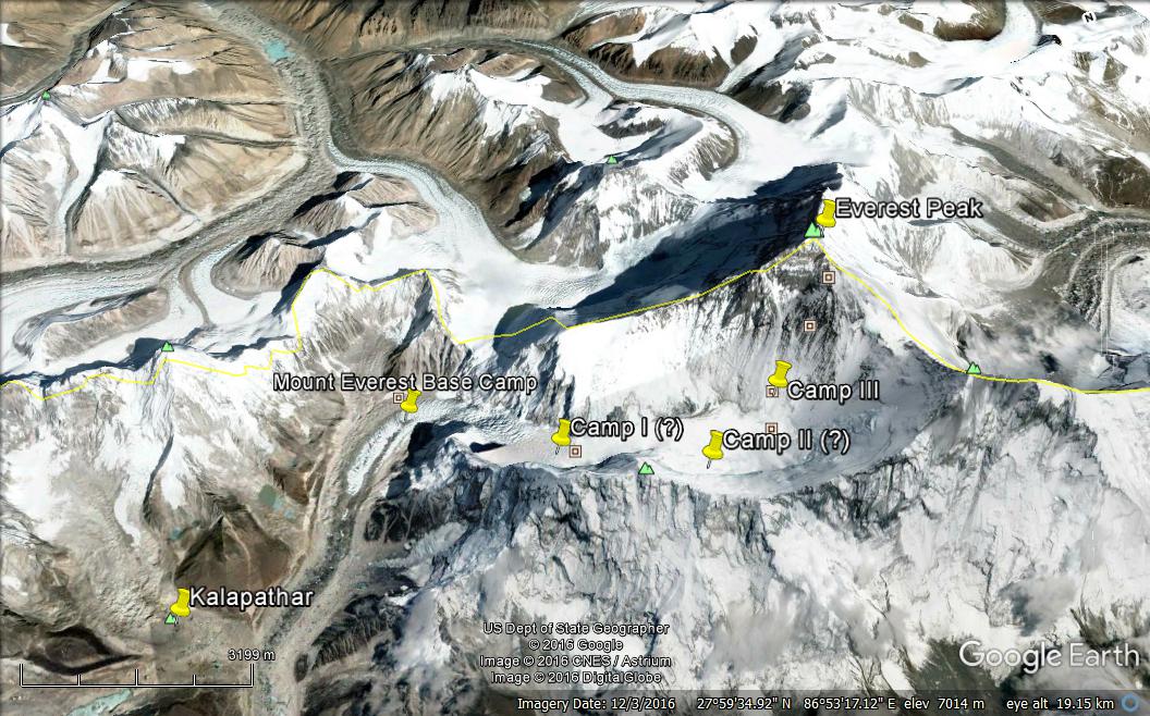
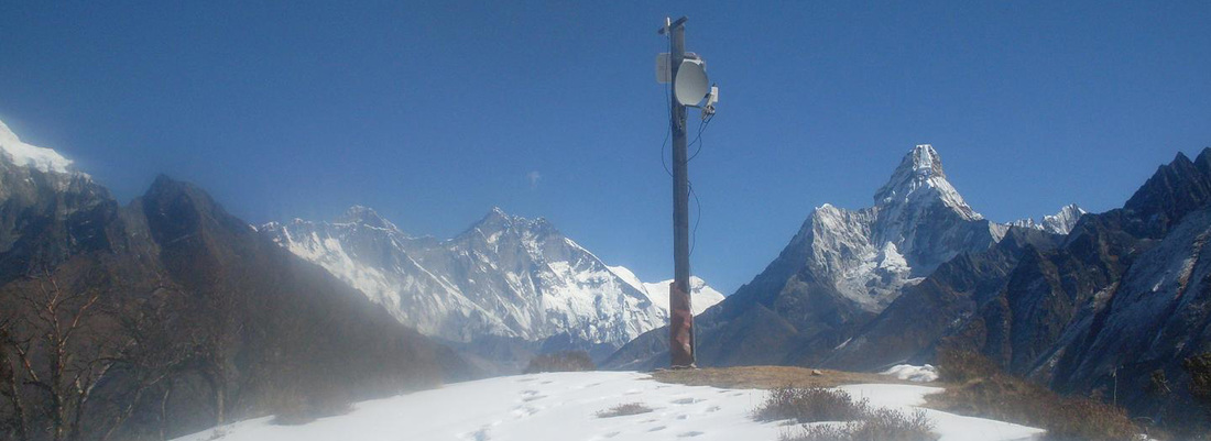
Dr. Robin Shrestha The task of analyzing the sensor data and the prediction of the pattern of the natural phenomenon for the Himalayan region of Nepal, especiallyMt. Everest region, are limited and are merely carried by the government or any national research institutes. Nepal is highly affected by the climate change which can be clearly observed in the Himalayan region (increasing glacier lakes, flash floods, unusual weather, etc.). The effects of climate change in context of Nepal is stressed in [1] and explains how the data set required to explain the processes of climate change is limited with just 280 monitoring stations throughout the country. The author in [1] further states that with such a dearth of information, it is impossible to adequately capture the temporal and spatial dynamics of precipitation. As a result, modeling exercises face fundamental limitations. Thus, there is impending demand of the added monitoring stations, which will facilitate the modeling of different natural phenomenon. The prediction of natural phenomena like weather pattern and other metrological phenomena in the region are not quite accurate since the dramatic variation in altitude over a short distance has resulted in pronounced orographic effects, effects which severely limit our ability to explain precipitation dynamics in Nepal. These predictions are of huge importance to the mountaineering and trekking industries in Nepal. While there are few projects that study the glacier lake at the Himalayan region with the initiation of international center for integrated mountain development (ICIMOD) Nepal, there are many other natural phenomena that are still to be analyzed and modeled. Even though glacier lake data are present for analysis, the analysis and modeling of the measurement has not been performed due to either insufficient data or lack of knowledge and resources. Mt. Everest being the tallest mountain in the world, the region is given huge interest by the mountaineers and trekkers. In early 2014, seracs on the western spur of Mt. Everest failed, resulting in an ice avalanche that killed sixteen Nepalese guides in the ‘Khumbu Icefall’ of the mountain. Also in early 2015, a magnitude 7.8 earthquake struck Nepal, which triggered an avalanche into the basecamp of Mt. Everest killing at least twenty-two mountaineers. Such calamity from the avalanche might have been completely or partially avoided if there were avalanche prevention system in place. An avalanche prevention system monitors the snow vibrations and density to detect dangerous patterns in its condition. Using appropriate modeling tools, we can model the avalanche conditions at various locations of the mountain and take a preventive measure. Fortunately, the emergence of cheap computing capabilities has opened the door for the realization of advanced technology like internet-of-thing (IOT). We at Center for Information and Communication Technology for Development, Nepal (an NGO) are working on the development of tools in order to collect real-time data of different measurements related to natural phenomena like: climate change, landslide, weather, river water level, glacier, etc. from the remote mountains (Everest region in particular) of Nepal. We plan to use these collected data to analyze and model various natural phenomenon in the region and develop a better understanding of these phenomena to take a preventive measure of an early alert system in case of natural disaster. Our aim is design and development of the remote sensing (IOT) tools for collecting different measurement of the remote sensors wirelessly. Analyze such data to predict or model the natural phenomenon like a landslide, snow storm, rain pattern, etc. as well as monitor glacier lakes and flood situation; and deliver early alert systems or take some preventive measures. Fortunately, there is a project underway to extend the broadband network up to the Everest base camp, which further facilitates our project to reality. In the first phase of the project we will be focusing on few of the natural phenomena namely; glacier lake monitoring, river floods monitoring, meteorological parameter monitoring, snow level monitoring, and landslide and avalanche prevention systems. For analyzing the data sets obtained from the various sensors, we will be using some of the popular data analyzing tools like discrete Fourier transform or discrete wavelet transform and even emphatical mode decomposition (EMD) method, which cope with the non-stationary and non-linear characteristics present in application data and capture distinct features of such data. These tools can be applied to data analysis, modeling, and denoising. Hilbert–Huang transform (HHT) can also be utilized if required. |
AuthorWrite something about yourself. No need to be fancy, just an overview. Archives
May 2020
Categories |


 RSS Feed